ID Student Yuqing Zhou Devises a ‘Novel’ Way to Represent the World’s Ocean Life
By Andrew Connor
November 22, 2019
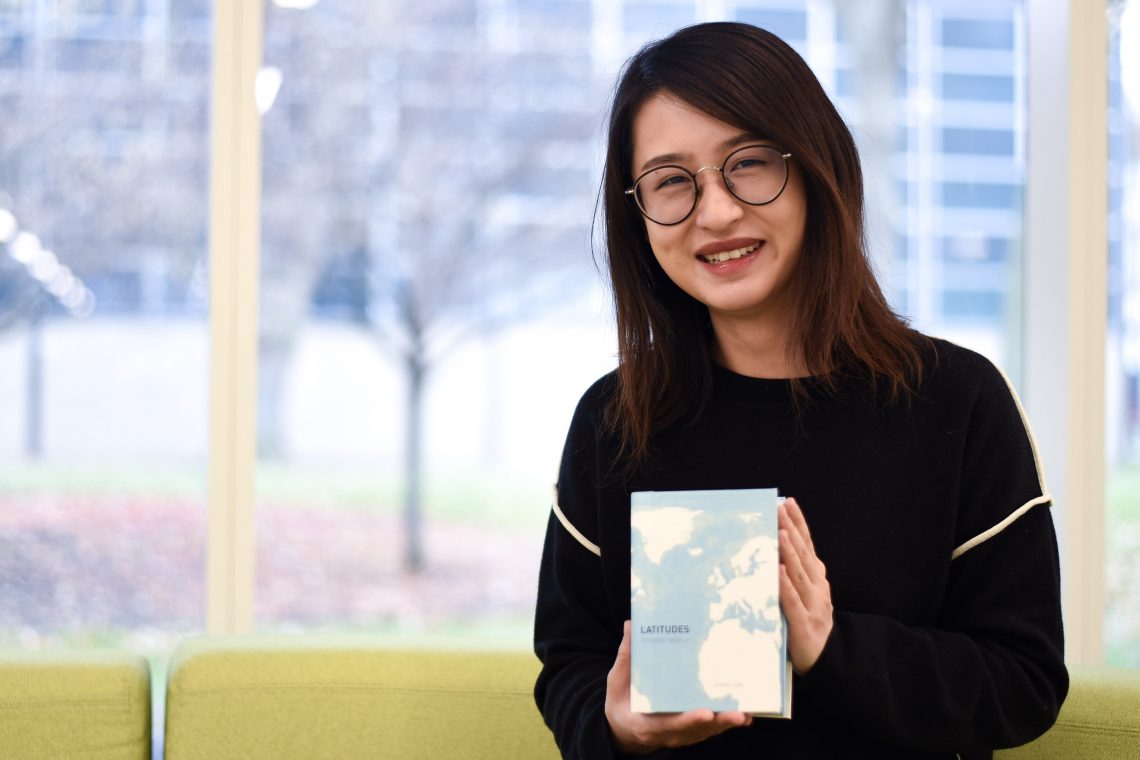
To call Yuqing Zhou (MDes 2019) an avid traveler would be something of an understatement—she has been to 30 countries and more than 100 cities. Perhaps the most meaningful moment, though, came three years ago when she was learning to scuba dive near the island of Sipadan, off the coast of Malaysia.
“When I thought about oceans and seas, the pictures in my mind were just blue. But then I discovered a beautiful, colorful world underwater,” says Zhou. “The fish were swimming around me, and that was just such a new and exciting experience.”
This experience inspired the IIT Institute of Design student to create Latitudes–Oceanic Worlds, a two-book collection that explores marine life around the world. Zhou recently launched Latitudes on Kickstarter and, as of this writing, has received $6,147 of her $25,000 goal to complete and distribute the books.
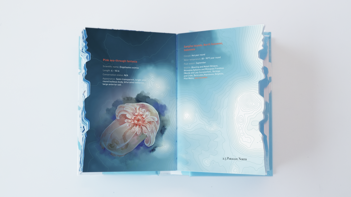
Latitudes sample page
As such, Latitudes is distinct from other educational illustrative books in its unique approach to layout and information design. The most notable feature is the relief on the book’s paper edge that resembles the topographic surface of the ocean floor. The low, flat sections along the edge represent land, while the raised portions represent the ocean, with the highest portions depicting the deepest trenches of the world’s oceans.
The book is called Latitudes because each of the 360 spreads in the volumes represent marine life at a half a degree of latitude. Readers begin the first book in the Arctic and finish at the equator, then pick up book two at the equator and finish at the Antarctic.
In the process of designing the book, which she did outside of her regular coursework, Zhou drew upon lessons from ID—from the rendering and prototyping skills she learned in her product design course, to the storytelling and data visualization she learned while studying digital media.
Zhou says that Latitudes is the product of a year and a half of work, and a labor of love. Expecting to graduate in December 2019, Zhou suggests that other students who might have similar ambitions approach them with a similar devotion.
“If you want to launch a product, you need to really love it, because you are going to think it over thousands of times and talk about it thousands of times,” she says. “And start doing it today. It always takes longer than you think.”